Berichten over uw Buurt
Zoals vergunningen, bouwplannen en lokale regelgeving
Open data van de Overheid
Zoals vergunningen, bouwplannen en lokale regelgeving
Adressen en contactpersonen van overheidsorganisaties.
Dataset
| Status | Beschikbaar |
|---|---|
| Data eigenaar | Rijkswaterstaat (Rijk) |
| Bijgewerkt | 20-06-2025 |
| Licentie | Onbekende licentie |
| Thema |
|
| Toegang | Beperkt |
| Metadata | Download (XML/RDF) |
Gebieden met een waterrecreatiebestemming binnen het beheergebied van RWS IJsselmeergebied, overeenkomstig de opgave van het Waterdistrict IJsselmeergebied.
Geen feedback gevonden.
Dit is een grafische representatie van de dataset die via het NationaalGeoregister.nl aangeboden wordt.
Het is mogelijk dat deze grafische representatie geen weerspiegeling van de data is, maar dient als ondersteunende afbeelding. Indien de dataset via een OGC:WMS service aangeboden wordt, is het mogelijk om zelf een grafische weergave van de dataset te genereren.
Bron: https://maps.rijkswaterstaat.nl/dataregister-publicatie/srv/api/records/5af0b1f0-f098-4cca-acb0-628e34eaf01e/attachments/small.jpg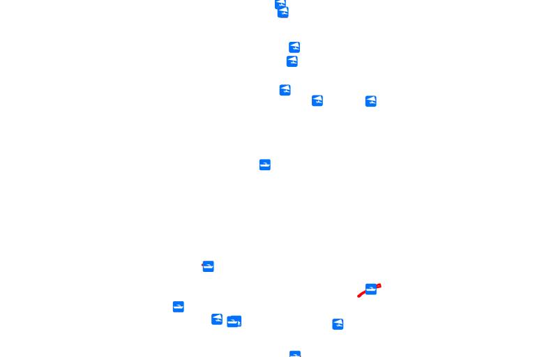
https://geo.rijkswaterstaat.nl/arcgis/rest/services/GDR/waterrecreatiegebieden/MapServer
ArcGIS MapService
https://geo.rijkswaterstaat.nl/arcgis/rest/services/GDR/waterrecreatiegebieden/FeatureServer
ArcGIS FeatureService
https://geo.rijkswaterstaat.nl/services/ogc/gdr/waterrecreatiegebieden/ows?service=WMS&request=getcapabilities&version=1.3.0
accessPoint
https://geo.rijkswaterstaat.nl/services/ogc/gdr/waterrecreatiegebieden/ows?service=WFS&request=getcapabilities&version=2.0.0
accessPoint
CSV
OGC:GML
JSON
OGC:KML
ZIP-SHAPE
GPKG
Geen feedback gevonden.