Berichten over uw Buurt
Zoals vergunningen, bouwplannen en lokale regelgeving
Open data van de Overheid
Zoals vergunningen, bouwplannen en lokale regelgeving
Adressen en contactpersonen van overheidsorganisaties.
Dataset
| Status | Beschikbaar |
|---|---|
| Data eigenaar | Rijkswaterstaat (Rijk) |
| Bijgewerkt | 03-03-2026 |
| Licentie | CC-0 (1.0) |
| Thema |
|
| Toegang | Publiek |
| Metadata | Download (XML/RDF) |
Aanduiding uiterwaarde - GIS bestanden t.a.v. de aanduidingen in de uiterwaarden. Dit zijn door RWS gehanteerde benamingen (en alternatieve benamingen). Maar de grenzen van de uiterwaarden zijn geen juridische/dan wel op een andere manier vastgelegde begrenzing.
Geen feedback gevonden.
Dit is een grafische representatie van de dataset die via het NationaalGeoregister.nl aangeboden wordt.
Het is mogelijk dat deze grafische representatie geen weerspiegeling van de data is, maar dient als ondersteunende afbeelding. Indien de dataset via een OGC:WMS service aangeboden wordt, is het mogelijk om zelf een grafische weergave van de dataset te genereren.
Bron: https://maps.rijkswaterstaat.nl/dataregister-publicatie/srv/api/records/52907cce-f010-4c7b-8366-443bf119c80f/attachments/small.jpg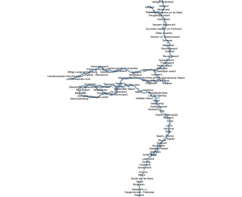
https://geo.rijkswaterstaat.nl/arcgis/rest/services/GDR/aanduiding_uiterwaarden/MapServer
accesPoint
https://geo.rijkswaterstaat.nl/arcgis/rest/services/GDR/aanduiding_uiterwaarden/FeatureServer
accesPoint
https://geo.rijkswaterstaat.nl/services/ogc/gdr/aanduiding_uiterwaarden/ows?service=WMS&request=getcapabilities&version=1.3.0
OGC:WMS
https://geo.rijkswaterstaat.nl/services/ogc/gdr/aanduiding_uiterwaarden/ows?service=WFS&request=getcapabilities&version=2.0.0
OGC:WFS
CSV
OGC:GML
JSON
OGC:KML
ZIP-SHAPE
GPKG
Geen feedback gevonden.