Berichten over uw Buurt
Zoals vergunningen, bouwplannen en lokale regelgeving
Open data van de Overheid
Zoals vergunningen, bouwplannen en lokale regelgeving
Adressen en contactpersonen van overheidsorganisaties.
Dataset
| Status | Beschikbaar |
|---|---|
| Data eigenaar | Rijkswaterstaat (Rijk) |
| Bijgewerkt | 20-06-2025 |
| Licentie | CC-0 (1.0) |
| Thema |
|
| Toegang | Publiek |
| Metadata | Download (XML/RDF) |
U kunt bij ons een verzoek doen om een specifieke dataset aan te vragen.
Dataverzoek doenBeheergebieden Rijkswaterstaat op grond van de Waterwet voor het thema vrijstelling vergunningplicht gebruik waterstaatswerken ingaande per 25-07-2023.
Geen feedback gevonden.
U kunt bij ons een verzoek doen om een specifieke dataset aan te vragen.
Dataverzoek doenDit is een grafische representatie van de dataset die via het NationaalGeoregister.nl aangeboden wordt.
Het is mogelijk dat deze grafische representatie geen weerspiegeling van de data is, maar dient als ondersteunende afbeelding. Indien de dataset via een OGC:WMS service aangeboden wordt, is het mogelijk om zelf een grafische weergave van de dataset te genereren.
Bron: https://maps.rijkswaterstaat.nl/dataregister-publicatie/srv/api/records/4292b1d4-5767-4048-be50-557663f6ff81/attachments/small.jpg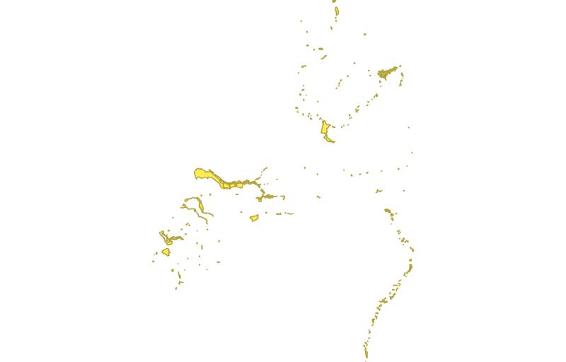
https://geo.rijkswaterstaat.nl/arcgis/rest/services/GDR/waterbeheergrenzen/MapServer
accesPoint
https://geo.rijkswaterstaat.nl/arcgis/rest/services/GDR/waterbeheergrenzen/FeatureServer
accesPoint
https://geo.rijkswaterstaat.nl/services/ogc/gdr/waterbeheergrenzen/ows?service=WMS&request=getcapabilities&version=1.3.0
accesPoint
https://geo.rijkswaterstaat.nl/services/ogc/gdr/waterbeheergrenzen/ows?service=WFS&request=getcapabilities&version=2.0.0
accesPoint
https://geo.rijkswaterstaat.nl/services/ogc/gdr/waterbeheergrenzen/ows?service=WMS&request=getcapabilities&version=1.3.0
accessPoint
https://geo.rijkswaterstaat.nl/services/ogc/gdr/waterbeheergrenzen/ows?service=WFS&request=getcapabilities&version=2.0.0
accessPoint
endPoint
endPoint
endPoint
gpkg
endPoint
endPoint
CSV
OGC:GML
JSON
gpkg
OGC:KML
ZIP-SHAPE
Geen feedback gevonden.