Berichten over uw Buurt
Zoals vergunningen, bouwplannen en lokale regelgeving
Open data van de Overheid
Zoals vergunningen, bouwplannen en lokale regelgeving
Adressen en contactpersonen van overheidsorganisaties.
Dataset
| Status | Beschikbaar |
|---|---|
| Data eigenaar | Rijkswaterstaat (Rijk) |
| Bijgewerkt | 19-12-2025 |
| Licentie | CC-0 (1.0) |
| Thema |
|
| Toegang | Publiek |
| Metadata | Download (XML/RDF) |
De shapefile bevat hyperlinks die verwijzen naar de helicopter luchtfotos die gemaakt zijn op 10 maart 2010. De volgende locaties zijn hierbij gefotografeerd: A2 Den Bosch - Zaltbommel, A2 Eindhoven - Den Bosch, A2 Het Groene Woud, A2 Leenderheide - Limburgse grens, A2 randweg Eindhoven, Meerenakkerweg Eindhoven, A2 rondweg Den Bosch, A4 Steenbergen, A58 Annabosch - Galder, A58 Ekkersweijer - Ekkersrijt, A59 Vlijmen, A65 Vught - Tilburg, Wilhelminakanaal, Zuidwillemsvaart.
Geen feedback gevonden.
Dit is een grafische representatie van de dataset die via het NationaalGeoregister.nl aangeboden wordt.
Het is mogelijk dat deze grafische representatie geen weerspiegeling van de data is, maar dient als ondersteunende afbeelding. Indien de dataset via een OGC:WMS service aangeboden wordt, is het mogelijk om zelf een grafische weergave van de dataset te genereren.
Bron: https://maps.rijkswaterstaat.nl/dataregister-publicatie/srv/api/records/3f63264f-076a-4d39-99ee-1ae01b1f373e/attachments/small.jpg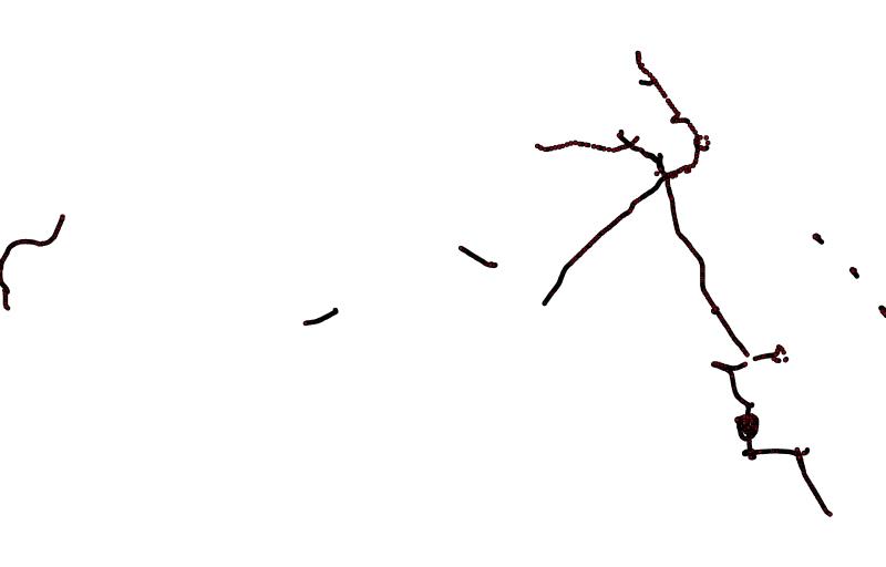
https://geo.rijkswaterstaat.nl/arcgis/rest/services/GDR/helicopterfotos/MapServer
ArcGIS MapService
https://geo.rijkswaterstaat.nl/arcgis/rest/services/GDR/helicopterfotos/FeatureServer
ArcGIS FeatureService
https://geo.rijkswaterstaat.nl/services/ogc/gdr/helicopterfotos/ows?service=WMS&request=getcapabilities&version=1.3.0
accessPoint
https://geo.rijkswaterstaat.nl/services/ogc/gdr/helicopterfotos/ows?service=WFS&request=getcapabilities&version=2.0.0
accessPoint
CSV
OGC:GML
JSON
endPoint
OGC:KML
ZIP-SHAPE
Geen feedback gevonden.