Berichten over uw Buurt
Zoals vergunningen, bouwplannen en lokale regelgeving
Open data of the government
Zoals vergunningen, bouwplannen en lokale regelgeving
Adressen en contactpersonen van overheidsorganisaties.
Dataset
| State | Available |
|---|---|
| Data owner | Rijkswaterstaat (Rijk) |
| Updated | 06/20/2025 - 00:00 |
| License | CC-0 (1.0) |
| Thema |
|
| Publicity level | Public |
| Metadata | Download (XML/RDF) |
You can do a datarequest to request a specific dataset.
Make a data requestVakindeling van de Stort en loswallen op de Noordzee. Er zijn twee soorten stort en loswallen: vastgelegd mbv WBR vergunning incl. milieubesluiten en stort en loswallen die vastgelegd zijn binnen de baggercontracten. Deze laatste liggen voornamelijk in het kustfundament. In de afgegeven vergunning staat om welke materialen het gaat.
No feedback found.
You can do a datarequest to request a specific dataset.
Make a data requestDit is een grafische representatie van de dataset die via het NationaalGeoregister.nl aangeboden wordt.
Het is mogelijk dat deze grafische representatie geen weerspiegeling van de data is, maar dient als ondersteunende afbeelding. Indien de dataset via een OGC:WMS service aangeboden wordt, is het mogelijk om zelf een grafische weergave van de dataset te genereren.
Source: https://maps.rijkswaterstaat.nl/dataregister-publicatie/srv/api/records/ddd83153-e194-40ad-936e-48bdfa08b623/attachments/small.jpg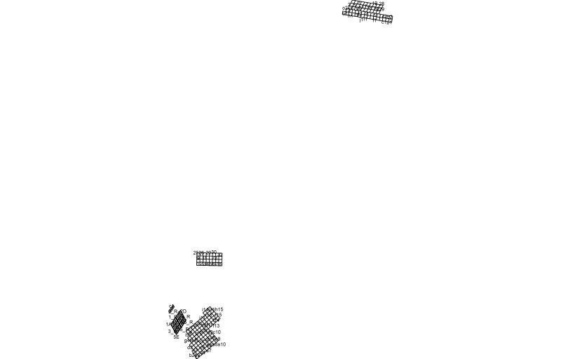
https://geo.rijkswaterstaat.nl/arcgis/rest/services/GDR/stort_loswal/MapServer
ArcGIS MapService
https://geo.rijkswaterstaat.nl/arcgis/rest/services/GDR/stort_loswal/FeatureServer
ArcGIS FeatureService
https://geo.rijkswaterstaat.nl/services/ogc/gdr/stort_loswal/ows?service=WMS&request=getcapabilities&version=1.3.0
accessPoint
https://geo.rijkswaterstaat.nl/services/ogc/gdr/stort_loswal/ows?service=WFS&request=getcapabilities&version=2.0.0
accessPoint
https://geo.rijkswaterstaat.nl/services/ogc/gdr/stort_loswal/ows?service=WMS&request=getcapabilities&version=1.3.0
accessPoint
https://geo.rijkswaterstaat.nl/services/ogc/gdr/stort_loswal/ows?service=WFS&request=getcapabilities&version=2.0.0
accessPoint
CSV
OGC:GML
JSON
OGC:KML
ZIP-SHAPE
GPKG
CSV
OGC:GML
JSON
OGC:KML
ZIP-SHAPE
GPKG
No feedback found.