Berichten over uw Buurt
Zoals vergunningen, bouwplannen en lokale regelgeving
Open data of the government
Zoals vergunningen, bouwplannen en lokale regelgeving
Adressen en contactpersonen van overheidsorganisaties.
Dataset
| State | Available |
|---|---|
| Data owner | Rijkswaterstaat (Rijk) |
| Updated | 19-12-2025 |
| License | CC-0 (1.0) |
| Thema |
|
| Publicity level | Public |
| Metadata | Download (XML/RDF) |
Then click the "Get help with searching" button.
Get help with searchingTOPhoogteMD is een landsdekkend, digitaal hoogtebestand van Nederland, vervaardigd in 1992 en bestaat voor het grootste deel uit hoogtepunten die gedigitaliseerd zijn van oude hoogtekaarten die door de toenmalige Meetkundige Dienst van Rijkswaterstaat (MD) werden gemaakt. Deze hoogtepunten zijn in de periode 1942-1983 ingewonnen. Opdrachtgever voor het maken van dit bestand was o.a. de Topografische Dienst. Het bestand wordt niet meer geactualiseerd. Het Actueel Hoogtebestand Nederland is de opvolger van het TophoogteMD. Het bestand is beschikbaar als arcview shape en DXF.
No feedback found.
Then click the "Get help with searching" button.
Get help with searchingDit is een grafische representatie van de dataset die via het NationaalGeoregister.nl aangeboden wordt.
Het is mogelijk dat deze grafische representatie geen weerspiegeling van de data is, maar dient als ondersteunende afbeelding. Indien de dataset via een OGC:WMS service aangeboden wordt, is het mogelijk om zelf een grafische weergave van de dataset te genereren.
Source: https://maps.rijkswaterstaat.nl/dataregister-publicatie/srv/api/records/d80835c7-91ec-4a09-9a51-a21a7906746a/attachments/small.jpg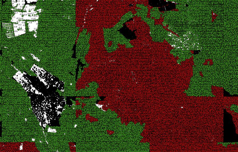
https://geo.rijkswaterstaat.nl/arcgis/rest/services/GDR/tophoogte/MapServer
accesPoint
https://geo.rijkswaterstaat.nl/arcgis/rest/services/GDR/tophoogte/FeatureServer
accesPoint
https://geo.rijkswaterstaat.nl/services/ogc/gdr/tophoogte/ows?service=WMS&request=getcapabilities&version=1.3.0
accesPoint
https://geo.rijkswaterstaat.nl/services/ogc/gdr/tophoogte/ows?service=WFS&request=getcapabilities&version=2.0.0
accesPoint
endPoint
endPoint
endPoint
endPoint
endPoint
endPoint
No feedback found.