Berichten over uw Buurt
Zoals vergunningen, bouwplannen en lokale regelgeving
Open data of the government
Zoals vergunningen, bouwplannen en lokale regelgeving
Adressen en contactpersonen van overheidsorganisaties.
Dataset
| State | Available |
|---|---|
| Data owner | Rijkswaterstaat (Rijk) |
| Updated | 20-06-2025 |
| License | CC-0 (1.0) |
| Thema |
|
| Publicity level | Public |
| Metadata | Download (XML/RDF) |
Then click the "Get help with searching" button.
Get help with searchingAHN 3 2018; puntenwolk, 5m grid DSM van de zandige kust van Nederland worden elk jaar in hoogte vastgelegd
No feedback found.
Then click the "Get help with searching" button.
Get help with searchingDit is een grafische representatie van de dataset die via het NationaalGeoregister.nl aangeboden wordt.
Het is mogelijk dat deze grafische representatie geen weerspiegeling van de data is, maar dient als ondersteunende afbeelding. Indien de dataset via een OGC:WMS service aangeboden wordt, is het mogelijk om zelf een grafische weergave van de dataset te genereren.
Source: https://maps.rijkswaterstaat.nl/dataregister-publicatie/srv/api/records/d76f580c-6f3f-4f09-a1e2-30af5614286a/attachments/small.jpg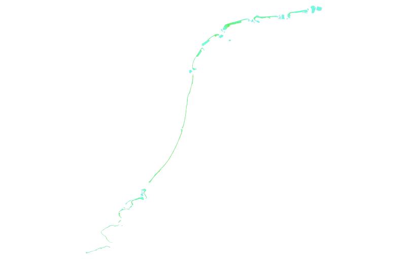
https://geo.rijkswaterstaat.nl/arcgis/rest/services/GDR/hoogte_2019/MapServer
accesPoint
https://geo.rijkswaterstaat.nl/services/ogc/gdr/hoogte_2019/ows?service=WMS&request=getcapabilities&version=1.3.0
accessPoint
endPoint
accessPoint
No feedback found.